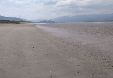
28 km | 30 km-effort
Kerry
jojomarette
Benutzer
Länge
227 km
Maximale Höhe
352 m
Positive Höhendifferenz
2614 m
Km-Effort
262 km
Min. Höhe
-1 m
Negative Höhendifferenz
2615 m
Boucle
Ja
Erstellungsdatum :
2019-05-25 07:17:58.563
Letzte Änderung :
2019-05-25 17:48:31.772
9h01
Schwierigkeit : Sehr leicht
Kostenlosegpshiking-Anwendung
Über SityTrail
Tour Auto von 227 km verfügbar auf Unbekannt, County Kerry, Listowel Municipal District. Diese Tour wird von jojomarette vorgeschlagen.
Beschreibung
Mmm
Ort
Land:
Ireland
Region :
Unbekannt
Abteilung/Provinz :
County Kerry
Kommune :
Listowel Municipal District
Standort:
Ballyheige
Gehen Sie:(Dec)
Gehen Sie:(UTM)
443250 ; 5804553 (29U) N.
Kommentare
Touren in der Umgebung
VTT the Maharees
Mountainbike
Einfach
Kenmare Municipal District,
Unbekannt,
County Kerry,
Ireland
3h 4min
Ja
retour
Auto
Sehr leicht
Tralee Municipal District,
Unbekannt,
County Kerry,
Ireland
306 km | 349 km-effort
3h 41min
Nein
Derrymore Curcuit
Wandern
Medium
Tralee Municipal District,
Unbekannt,
County Kerry,
Ireland
8,8 km | 18,5 km-effort
Unbekannt
Nein
de talent à kilarney
Elektrofahrrad
Einfach
Tralee Municipal District,
Unbekannt,
County Kerry,
Ireland
141 km | 155 km-effort
6h 42min
Nein
j03-4
Auto
Sehr leicht
Tralee Municipal District,
Unbekannt,
County Kerry,
Ireland
43 km | 47 km-effort
39min
Nein
Loop Head - Doonbeg WAW Part 6.3
Auto
Sehr leicht
West Clare Municipal District,
Unbekannt,
County Clare,
Ireland
39 km | 44 km-effort
Unbekannt
Nein
Banna Strand - Tarbert WAW Part 6.1
Auto
Sehr leicht
Tralee Municipal District,
Unbekannt,
County Kerry,
Ireland
75 km | 82 km-effort
Unbekannt
Nein
Naar Inch Beach
Wandern
Kenmare Municipal District,
Unbekannt,
County Kerry,
Ireland
52 km | 60 km-effort
1h 28min
Nein
Michiel
Auto
Kenmare Municipal District,
Unbekannt,
County Kerry,
Ireland
16,7 km | 20 km-effort
1h 7min
Nein